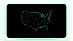
Professional Map and Geography Motion Graphics
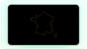
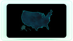
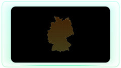
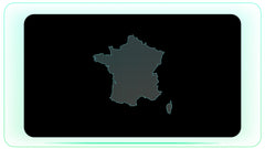
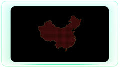
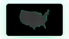
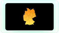
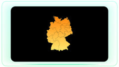
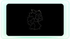
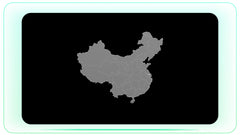
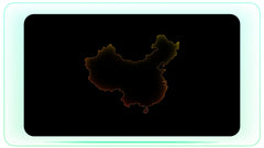
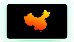
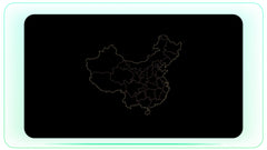
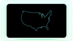
Bring your storytelling to life with our collection of high-quality world map and geography motion graphics. This library includes animated 2D and 3D maps, globe rotations, and connectivity overlays made for professional video projects. Whether you are tracking global travel, explaining complex international relations, or illustrating supply chains, these assets offer a clear, visual way to share information. Every file is delivered in ProRes 4444 format with a transparent alpha channel, making them easy to drag and drop onto your timeline in Premiere Pro, After Effects, or any standard editing software. From highlighted country borders for the USA or India to high-tech data lines showing global connectivity, these assets help you create professional-grade maps without having to manually keyframe or use complex map-building software.
Key Features
- Ready to Use: Simple drag-and-drop workflow.
- Transparent Alpha Channel: ProRes 4444 files for seamless blending with your footage.
- High-Detail Maps: Includes detailed borders for countries like the USA, India, and global regions.
- Dynamic Data Layers: Pre-animated lines, pins, and data points for clear communication.
Common Ways to Use These Assets
- Global Connectivity: Use animated data lines and glowing nodes to show international trade, internet infrastructure, or flight routes.
- Geography & Travel: Highlight specific countries or states to illustrate travel paths, geographical features, or regional focus.
- News & Documentaries: Use these maps to explain geopolitical situations, global crises, or historical events with clear, animated visuals.
- Business & Analytics: Visualize market reach, distribution networks, or global office locations for professional presentations.
- Tension & Urgency: Use pulsing markers or border highlights to show where critical events are occurring on a world scale.